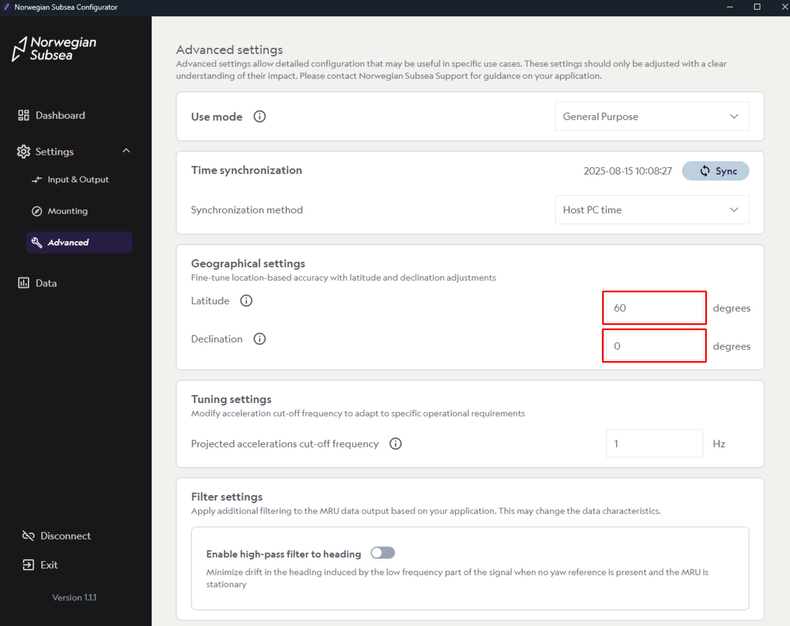
Geographic settings define location-based parameters that are used to improve the accuracy of the internal algorithms (e.g., magnetic calibration):
-
Latitude: Set the latitude of the MRU location to provide an initial estimate of the acceleration of gravity.
-
Declination: Used to apply a correction to the magnetic heading output.
Follow these steps to configure geographical settings:
-
In the geo section, change Latitude and declination, if needed.
-
Click “Save“ (if default values are changed)
API
You can also configure geographical settings through the API .